Newsroom
Scientists Propose a Green Way for the Development of China’s Yangtze River Economic Belt
The Yangtze River Economic Belt (YREB) has a surface area of 2.1 million km2, which includes 11 provinces and municipalities from Yunnan and Sichuan in the west to Shanghai in the east in China (Figure 1). The YREB contributes over 40% of both population and Gross Domestic Product (GDP) of China and was planned for further development. However, the environmental and ecological conditions of the Yangtze River Basin have been heavily impacted by prior anthropogenic activities. Therefore, a sustainable or green way is urgently needed for the potential development.
To address this issue, Professor Yushun Chen’s team at Institute of Hydrobiology (IHB) of Chinese Academy of Sciences conducted a series of basin wide field investigations from August 2015 to January 2016, mainly focused on the mainstem from the headwater to the estuary, major tributaries, and associated lakes of the Yangtze River. In addition, China Association for Science and Technology organized a delegation of experts from the Ministry of Environmental Protection, China Institute of Water Resources and Hydropower Research (IWHR), Chinese Academy of Sciences and overseas, and conducted another investigation in the Yangtze River Basin in April 2016. Based on these field investigations and existing monitored data, the team synthesized the current stressors and proposed a green way for the development of the YREB.
Professor Yushun Chen and co-authors have these results published in a recent article entitled “The development of China's Yangtze River Economic Belt: how to make it in a green way” in Science Bulletin. They presented: 1) basin wide climate change, anthropogenic stressors, and ecological and environmental deteriorations; 2) key stressors and ecological and environmental deteriorations in different river reaches; and 3) basin wide and reach based ecological and environmental conservation strategies and policy recommendations.
The current research will serve as an overall pioneer framework for further developing the YREB in a green way.

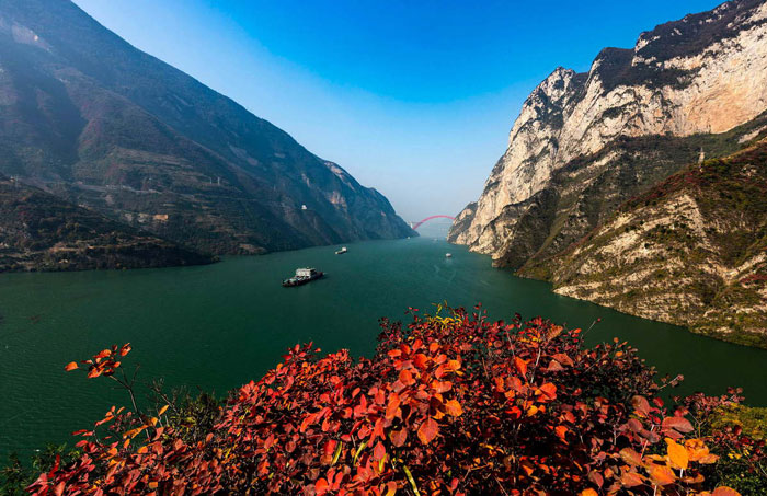
Figure 1. The location of the Yangtze River Economic Belt (YREB) and its urban groups (in red triangles) and subregions. TGR = Three Gorges Reservoir, GZB = Gezhou Ba Dam. (Image by IHB)