Newsroom
Professor from Wuhan University Visits IHB

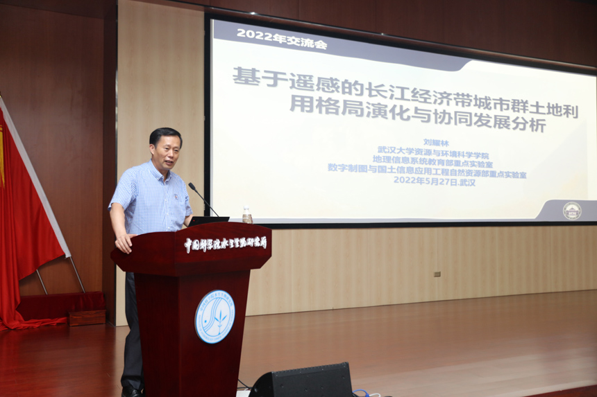
Prof. LIU Yaolin from Wuhan University gives a lecture at IHB, May 12, 2022. (Credit: IHB)
Prof. LIU Yaolin from Wuhan University paid a visit to the Institute of Hydrobiology (IHB) of the Chinese Academy of Sciences on May 27, 2022. He presented a lecture on the analysis of pattern evolution and synergistic development of land use in urban agglomerations in the Yangtze River Economic Belt using remote sensing techniques during his visit.
Prof. Liu took 37 cities in 11 provinces and cities along the Yangtze River Economic Belt as the research objects, and collected Landsat data and remote sensing of nighttime lights data of these cities between 1995 and 2015. Based on the spatial and temporal characteristics of urban land and human activity ranges, he identified urban centers, development intensity, and spatial morphological features, and identified the evolutionary characteristics and industrial structure of the cities.
His study shows that the urban land area of the Yangtze River Economic Zone grew from 3,651 km2 in 1995 to 9,591 km2 in 2015, an increase of 5,940 km2. The relationship between urban spatial form, GDP and urban class reveals that cities with greater changes in urban spatial form have greater economic increments. Eastern cities have higher economic increments in general and higher than average changes in urban form metrics.
Professor Liu concluded that urban land and human activities have a significant relationship, but that land expansion and human activities are not always perfectly matched due to factors such as administrative hierarchy and differences in agglomeration effects.
“Although the use of urban land is becoming more efficient and economically efficient, problems such as inefficient land use and disorderly expansion of urban land still persist.,” said Prof. Liu.
Prof. Liu is a professor and the former dean of the School of Resource and Environmental Science at Wuhan University, and the director of Ministry of Education Key Laboratory of Digital Mapping and Geographic Information Systems. He was vice president of the International Cartography Association (ICA) during 2011-2019 and serves on the editorial board of a number of international journals. He is also vice president of the Chinese Society for Geodesy, Photogrammetry and Cartography. He served as conference chair and committee member of several international and national conferences and workshops. He is a recipient of several prestigious national scientific awards.